|
FEATURED
DATA ARCHIVE
05.24.2011

09.10.2010


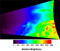
click images for description
07.01.2010


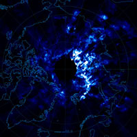
click image for description
06.08.2010

click image for description
06.07.2010

click image for description
10.13.2009

click image for description
08.21.2009

click image for description
07.15.2009

click image for description
07.14.2009

click image for description
04.01.2009

click image for description
02.21.2009

click image for description
11.25.2008

click image for description
06.21.2008

click image for description
05.24.2008

click image for description
05.06.2008

click image for description
02.07.2008

click image for description
02.07.2008

click image for description
01.18.2008

click image for description
12.20.07

click image for description
10.22.07

click image for description
07.08.07
click image for description
06.11.07
click image for description
Press
Release about this image.
|

